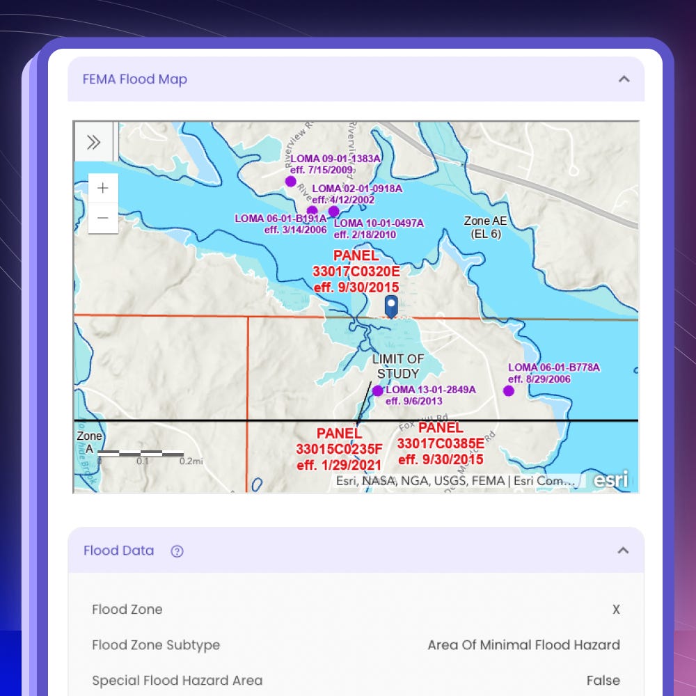
Protect your property and finances by accessing critical flood information with RealReports™.
Happy to announce the launch of our flood data integration with Federal Emergency Management Agency (FEMA) on BHR!
By downloading a RealReport™, you’ll be able to access detailed flood information for any property in the US. This includes flood zone type, base flood elevation, whether it’s in a Special Flood Hazard Area, and more. This data is critical in determining flood insurance requirements and policy costs for prospective buyers, property owners, insurance agents, lenders, and more!
Floods present serious risks to home equity loss, causing price deflation and budget deficits for municipalities that heavily depend on property taxes for revenue. Currently, over 14 million United States properties face over a 1% annual probability of flooding. Moreover, a 2023 report by the Nature Climate Change journal estimates that homes in certain areas vulnerable to floods are overvalued by $120 billion to $237 billion.
Despite all this, state governments have different requirements for disclosing flood risks and the data is not easily accessible. This causes homebuyers to make uninformed decisions and underestimate their risk, leading to displacement, losing their homes, and insurmountable debt after severe flooding.
Even with all of this, data is not easily accessible. Each state government has different requirements for disclosing flood risks. With the barrier to access data, homebuyers often underestimate their risk, leading to displacement, loss of homes, and insurmountable debt after severe flooding.
This is why we’ve prioritized our flood data integration to make it easier with BHR RealReports™.
Check it out and let us know your thoughts!


